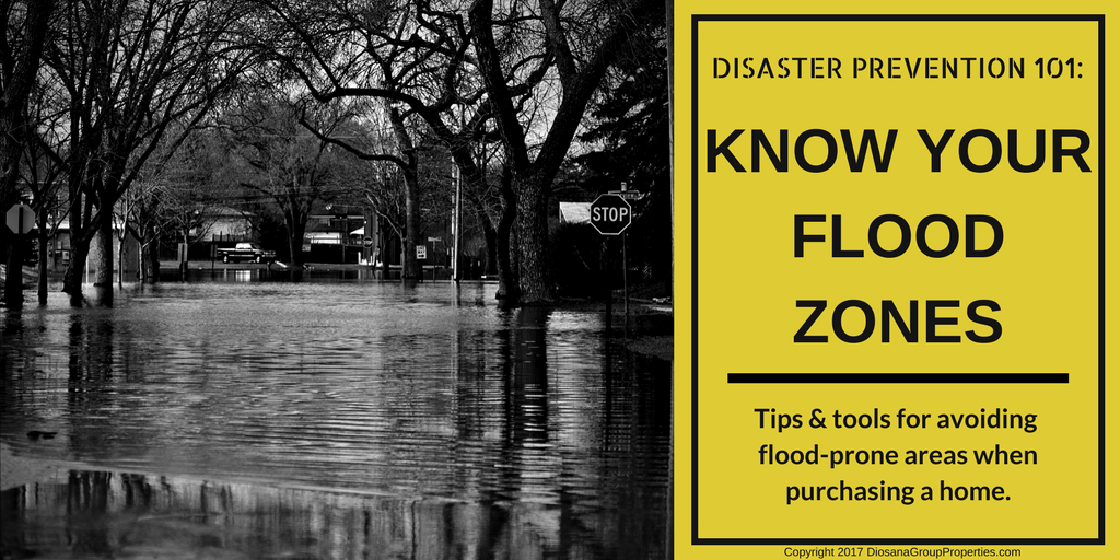
Know Your Flood Zones
The 2017 hurricane season dealt serious damage to many Houston neighborhoods. Areas became flood zones in a matter of hours, forcing many homeowners to abandon it all. The “100-year floods” can happen anytime. Hurricane Harvey unleashed hard upon Houston but it doesn’t take a hurricane to cause a major flood. Each year, the rainy season floods streets and communities throughout Houston, sometimes with disastrous consequences. For some, this means a few days off work while the commute dries up. For others, heavy rains can wash away homes and the memories contained inside within minutes. When purchasing a home in Houston or along the Gulf Coast, it’s best to expect possible flooding. Here it’s a matter of when the rains will come. Get the advantage with these tips and tools for avoiding flood-prone areas when purchasing a home:
Research the Area
Purchasing a home is a thrill, whether it’s a first-time buy or it’s been so many you’ve lost count. It’s easy to be distracted by amazing homes and gorgeous views, yet a little research ahead of time can save a lot of headaches later.
Find the High Ground:
Looking across Houston, you could be forgiven for thinking it a flat plane. Hurricane Harvey demonstrated how important even slight changes in elevation can be. The National Map (USGS) maintains an elevation mapping tool for the city. With this map, predicting where water will flow (to the lowest point) in a rainstorm can aid in predicting potential flood zones. The higher the elevation, the less-likely flood waters are to fill the area. This map also displays historical data, meaning buyers can view the impacts of Hurricane Harvey to predict which areas may be prone to more flooding, in the future.
Review Recent Rainfall:
The Harris County Flood Warning System lists recorded rainfall data for up to the past year. Using this tool, users can access rainfall data for all of Houston, in inches, for the past year. On the left side of the page, under rainfall data, change the period to “rainfall in the last 1 year”, and click refresh. The map will be populated with inch totals across the county. Clicking on “more information” next to any of inch-totals listed on the map will open a window breaking down rainfall into months. Clicking the tab (near the top left) for Stream Elevation will display data regarding local waterways, and any time the waters crested the bank (for an example, click here). If the waters crested, they have to go somewhere. Elevation data gathered in the previous step can help predict where.
Learn the History:
Google Earth Pro enables users to view satellite and aerial maps dating back decades. This is more than a fun tool for history buffs. With these maps, homebuyers can see what areas used to look like and, more importantly, if a neighborhood used to be underwater. Many modifications have been made to the Houston landscape, including many for channeling water. Water in any quantity will always seek the lowest point. In times of severe rain and flooding, areas previously drained by feats of engineering may once again become waterways. To access this data, download Google Earth Pro by clicking this link. Search timeline data using an address and the clock icon, located on the toolbar.
Know the Watersheds:
Home buyers can access more data on flooding through the Houston Flood Control District. Many Houston homeowners escaped the rains of Harvey, only to be flooded by reservoir releases. A beautiful view may have hidden risks. To learn more about watersheds near a potential home, and the impacts of reservoir releases during Hurricane Harvey, click here.
With all these tools in the home-buying tool bag, so to speak, buyers are in a better position to make educated decisions. History is a teacher for those willing to learn from it. Buy dry. Areas prone to flooding will likely flood again.
Plan for Flooding
Houston is a low-lying area, prone to significant rainfall and flooding. Too many homeowners learned too late the limits of home insurance coverage. Homeowners policies do not cover damages related to flooding. To protect against flood damages, secure a flood insurance policy. Policies can be padded with additional protection including coverage for storage, hotel, and other related expenses.
Let’s face it: all of Houston is basically a flood zone. A “100-year flood” means there’s a 1% chance it will happen every year. The fact that it flooded this year doesn’t give you a pass for the next 99. Home buying is and can be an enjoyable experience, but a purchase this size means a little bit of (slightly boring) homework beforehand. A realtor can help navigate the topography to help you find the right home, away from areas prone to flooding. Don’t buy in a flood zone. Research the area and contact a local realtor before making an offer. For more information on purchasing a home in the Houston area, visit www.DiosanaGroupProperties.com.
Other Resources
- Flood Zone Map: harriscountyfemt.org
- Risk/Coverage: Confirm with your insurance broker FEMA rates PLUS excess and ALE (replacement cost) so that the purchase value of your contents are covered.
- Purchasing a home: Check the elevation of the home you are considering
- Are you near a water source(bayou or reservoir): Call the Harris County Flood Control District to find out if that bayou is a collection artery. Make sure there is some distance from nearest large water source (bayou/reservoir)
- Historical volume of water: Check top of Bank vs rainfall rate via the Harris County Flood Warning System. Create an alert so you can get warned.
- Communicate with your neighbors: Join a neighborhood Facebook Group and chat on NextDoor app. This was crucial where neighbors shared up to the minute details on accidents, best way out of your subdivision and overflowed areas.